See the context
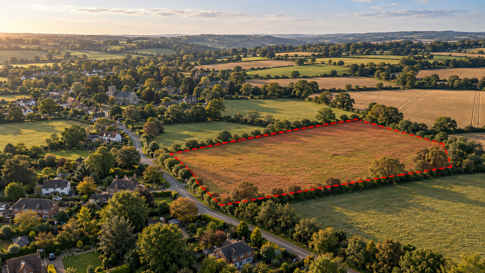
Show how a site fits within its surroundings, including visible access, features and neighbouring land.
HIGHFRAME / LAND & PROPERTY EXPLORER
Bring the listing to life. An interactive online Explorer that lets buyers move around the land, buildings and surroundings.
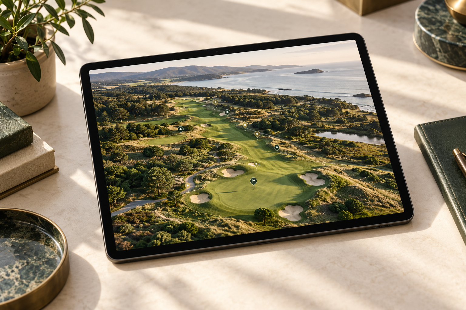
We use camera drones and photogrammetry to capture land and buildings in 3D, then present the model in our own Highframe Viewer. Agents, owners and developers can give buyers or stakeholders a place to move around online, with points of interest and information shaped around the site. Your Explorer is ready to share as a link or embed on your website.
01 / SHOW THE WHOLE SITE
Capture the buildings, grounds, terrain and visible features in a detailed 3D model. Prospective buyers can move around the site and see how the property fits within its surroundings.
For land sales, larger estates and development listings, this adds context that a single aerial photograph cannot provide. We plan the capture around the area being presented and the information your buyers need.
THE HIGHFRAME VIEWER
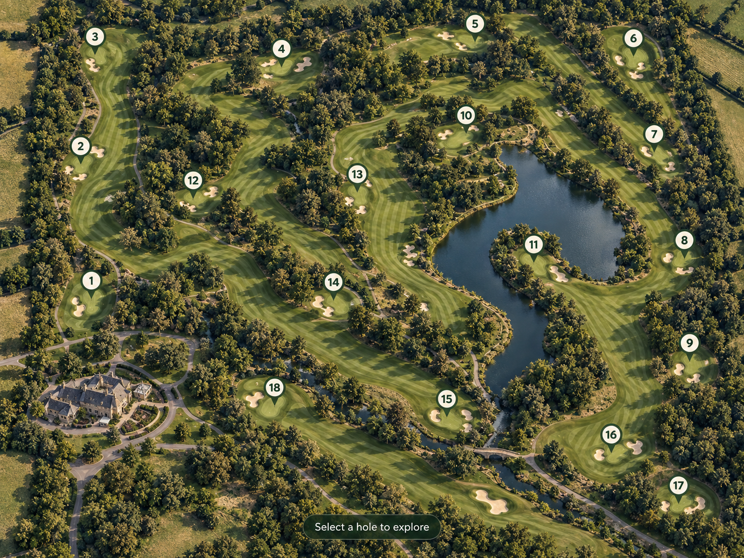
Our own Highframe Viewer turns your 3D scan into an online Explorer. We capture your land, property or outdoor space with our drones, build a detailed 3D model, and bring it online in our own software. Visitors can move around, zoom into the detail and discover key places before they arrive. Share it with a link or embed it on your website.
02 / THE HIGHFRAME VIEWER
Our own online viewer presents your captured model with navigation, points of interest and information shaped around the listing. Help buyers locate the features you want to highlight and understand the wider setting.
Share the Explorer as a link or embed it on your property website. It can sit alongside photographs, video, plans and sales particulars as part of the marketing package.
WHAT YOU RECEIVE
Show how a site fits within its surroundings, including visible access, features and neighbouring land.
Let people explore the 3D model at their own pace rather than relying on a single viewpoint.
The experience can be tailored to land, property, destinations, education or other places with a story to tell.
Agree the site, audience and information the experience should communicate.
Define coverage, viewpoints and the detail needed for the model.
Combine captured imagery with our viewer and your points of interest.
Review, embed and share the finished experience with your audience.
HAVE A SITE TO PRESENT?
Send the property or land location and tell us how you want to present it. We’ll discuss the capture and the online experience.
Discuss your property ExplorerHAVE A PROJECT IN MIND?